

Here goes a snapshot of Talbot County, Maryland, and we’re all in it somewhere—so look up and smile!
In the very first “Focus on Talbot” piece a month ago, I expressed the hope that these observations on our community will weave together, not just to describe where we are and what’s going on today, but to spotlight the unique (but squanderable) attributes of Talbot County that can deliver a bright and prosperous future for us and our kids—both financially and as a really great place to live. It need not be “either/or.” It really can be “both/and.”
The point of today’s column is to set up a framework for discourse to follow, a useful way of looking at Talbot County, past, present and future.
Talbot County is made up of (1) a “Rural Environment”, (2) a “Built Environment,” and (3) “the Water.” Roughly 25 miles long and 25 wide, Talbot’s shape is actually a bit weird due to our peninsulas; the implications of that will be a column in itself. Talbot’s topography seems flat, but not quite…and that has implications. And, to our detriment, the “edges” between these different segments of our County are often pretty fuzzy—yet another point of discussion.
Note that there is no “natural environment;” one hears the term occasionally, but I’m pretty sure there is not a single acre of land (or probably water bottom) in all of Talbot County that in the 350 years since settlement has not at one time or another been cut, graded, cleared, planted, dredged or otherwise modified by the hand of man. One can argue the notion that we ourselves are products of nature, and so indeed all that we’ve wrought is “natural”…but I’ll leave that argument to others.
Talbot’s “Built Environment” centers on our 5 incorporated towns: Easton, St. Michaels, Oxford, Trappe, and…can you name the fifth? Our handiwork makes up the towns, but goes far beyond as well: residences, shopping centers, parking lots and service roads, utility boxes and power lines, historic churches and cultural centers, subdivisions, fast food shops, abandoned motels, brand new schools, historic villages, and all that signage.
The “Rural Environment” in Talbot is also man-made—lovely farm fields sculpted and leveled and drained over the decades (centuries, really)—not for our aesthetic benefit, but driven by the rational considerations of the agriculture business. Roughly 100,000 acres are being farmed, almost 60% of our land area, and another 40,000 acres is in forestland (over 20% of land area, all per MD Dept of Planning, 2010). The tree lines you see are often hiding the natural drainage streams that feed our creeks and rivers. And there are plenty of ancillary structures in our rural landscape, most integral to the farm scene (e.g., industrial storage silos), some less clearly so, like a field of solar panels. And most all of this tied together by a web of narrow country roadways, maintained by the County.
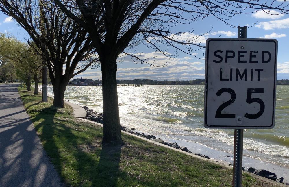
“The Water” comprises 44% of Talbot County! One might assume at least that part of our County has never changed. Wrong. The scenic view from the shoreline, that great sunset, is as pretty as ever. And the configuration of our waterways has remained the same over the centuries (though old maps reveal subtle alterations even there). But the water quality and the flora and fauna of the rivers have eroded dramatically since settlement, since the boom of oystering in the 1880’s, since the age of market hunting for waterfowl, since the invention of the power dredge and the trotline and the hydraulic clam dredge, since the introduction of (still-imperfect!) wastewater treatment systems in the 1920s, and the more recent realization that stormwater flows from both urban zones and ag fields adversely impact local waters. It’s super complicated, affecting most directly the watermen trying hard to sustain a traditional way of life, but in fact impacting every citizen of Talbot.
So there it is: The Rural Environment. The Built Environment. The Water. A framework for a longer, deeper discussion and understanding of this special place. Stay tuned.
Note: The fifth incorporated town–population 94 in Talbot–is Queen Anne, Metropolis of the Tuckahoe! Curiously, part of Queen Anne sits within the County to our north.
Dan Watson is the former chair of Bipartisan Coalition For New Council Leadership and has lived in Talbot County for the last twenty-five years.
Kristen Greenaway says
Nice way of looking at it, Dan–thank you.
Margot McConnel says
Very interesting Dan. Thank you. I am looking forward to more discussion.
Judy Tinelli says
I’d love to know where the photo on Dan Watson’s Focus on Talbot story in today’s Spy was taken. With all the water surrounding us, I’ve yet to find a spot where you can actually drive along the water. Where is this?
Editor says
The Spy can’t say or Oxford would kill us -).