MENU

Sections

  • Home
  • About
    • Contact Us
    • Editors and Writers
    • Join our Mailing List
    • Letters to Editor Policy
    • Advertising & Underwriting
    • Code of Ethics
    • Privacy
    • Talbot Spy Terms of Use
  • Art and Design
  • Culture and Local Life
  • Public Affairs
    • Ecosystem
    • Education
    • Health
    • Senior Life
  • Community Opinion
  • Sign up for Free Subscription
  • Donate to the Talbot Spy
  • Cambridge Spy

More

  • Support the Spy
  • About Spy Community Media
  • Advertising with the Spy
  • Subscribe
May 13, 2025

Talbot Spy

Nonpartisan Education-based News for Talbot County Community

  • Home
  • About
    • Contact Us
    • Editors and Writers
    • Join our Mailing List
    • Letters to Editor Policy
    • Advertising & Underwriting
    • Code of Ethics
    • Privacy
    • Talbot Spy Terms of Use
  • Art and Design
  • Culture and Local Life
  • Public Affairs
    • Ecosystem
    • Education
    • Health
    • Senior Life
  • Community Opinion
  • Sign up for Free Subscription
  • Donate to the Talbot Spy
  • Cambridge Spy
2 News Homepage

Maps of Easton’s Rails-to-Trails Network

December 22, 2020 by Spy Desk

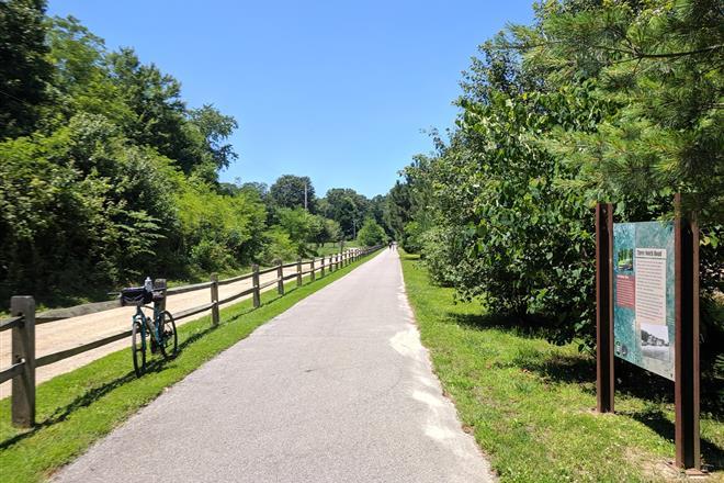
The Easton Rails-to-Trails opened in 1998 with a nearly 3-mile trail spanning most of Easton running north to south. The trail has been a popular spot for walking, jogging, biking, and sightseeing.

The trail provides access to local stores, parks, destinations, and schools. The original railroad station (converted into Town of Easton offices) is near the midpoint of the trail near Goldsborough Street.

Parking for the trail may be found in Idlewild Park (115 Idlewild Ave). Bike or walk two blocks east from the park to access the trail. Parking is also available next to the Talbot County Public Schools building (12 Magnolia St.) and the North Easton Sports Complex (1078 N. Washington St.)

Over the years, the town has added a western spur that goes to Easton Point and recently celebrated the opening of the Easton Village portion of the trail, which includes a footbridge across the Tred Avon River connecting Easton with new housing developments to the west.

Additional plans include building a small parking lot for the trail in Waterside Village, near the St. Michaels road traffic signal. When complete, there will be five and a half miles of trail in the town of Easton.

Note: All Town of Easton parks are open sunrise to sunset.

Town-of-Easton-Rail-Trail-System


The Spy Newspapers may periodically employ the assistance of artificial intelligence (AI) to enhance the clarity and accuracy of our content.

Filed Under: 2 News Homepage Tagged With: Biking, Easton, jogging, map, outdoors, rails-to-trails, trail, walking

Copyright © 2025

Affiliated News

  • The Chestertown Spy
  • The Talbot Spy

Sections

  • Arts
  • Culture
  • Ecosystem
  • Education
  • Mid-Shore Health
  • Culture and Local Life
  • Shore Recovery
  • Spy Senior Nation

Spy Community Media

  • Subscribe
  • Contact Us
  • Advertising & Underwriting

Copyright © 2025 · Spy Community Media Child Theme on Genesis Framework · WordPress · Log in